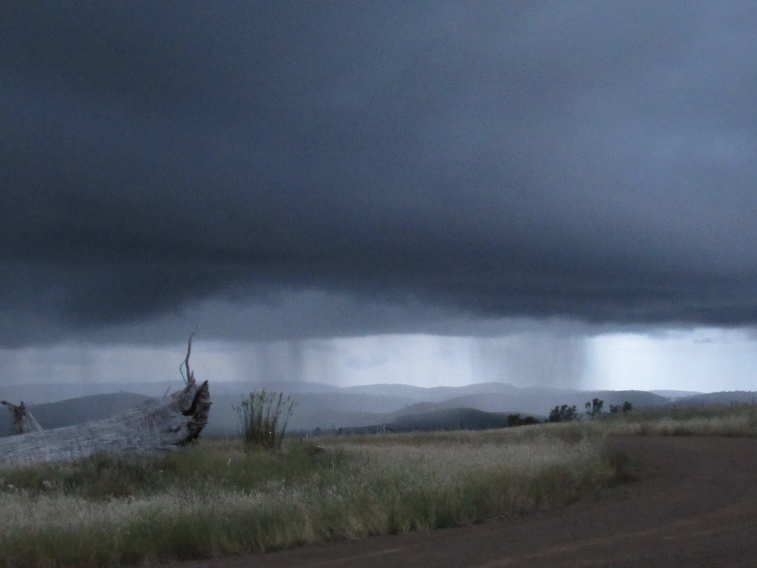
Note to Yarns from the Farm readers: this is the sixth instalment of a series on climate change that I’m writing for our local monthly newsletter, the Southern Midlands Regional News (SMRN). The first article is here, the second here the third here, the fourth here and the most recent here. The image above is taken from the upper part of my farm, looking out over the Western Tiers.
Just to recap earlier SMRN Climate Change articles, we know that temperature is rising, globally, as a result of increasing greenhouse gases in the atmosphere. The excess heat in the atmosphere in turn has been steadily heating the world’s oceans since the industrial revolution.
Ocean diffusion and circulation move excess heat throughout the ocean depth, so even though a lot of heat has been absorbed, we observe a relatively small temperature change of 1–2 deg C at the surface.
The ocean’s role in weather and climate is to move heat from the equator toward the poles, to even out the gradient in incoming heat. To do its job, the ocean generates large-scale circulation patterns, like the poleward-flowing Gulf Stream and the East Australia Current, to transport heat.
The pattern of heat at the ocean surface, in turn, drives rainfall and evaporation patterns. Where the ocean surface is warmer than the atmosphere above it, evaporation and upward convection create the right conditions for rainfall. Hence, when the Indian Ocean near Australia is relatively warm (called a negative Indian Ocean Dipole), we generally see higher rainfall across Australia as eastward-moving weather patterns bring that moister, warmer air over the continent.
The other variable for us is going to be evaporation. Evaporation from bare ground (that is, no plant cover) is about 1m per year (yes, really: 1,000mm) in the Southern Midlands. Our rainfall is only about 600mm per year. Evaporation in excess of precipitation is the definition of a desert.
What stands between us and desertification is ground cover: plants dramatically slow down the effective evaporation process by holding moisture in the soil, and then doling it out at a much slower rate than bare ground evaporation, through the process called evapotranspiration.
As we move forward in our brave new world of climate change, plants are an ally we need to protect. This is going to mean re-examining the level of grazing pressure we can sustain without losing valuable ground cover.
Predictions of the changes we can expect in the Southern Midlands over this century have been made by a group at the University of Tasmania’s Climate Futures Program. They use existing global climate models to look at the projections for temperature, rainfall, evaporation and the Forest Fire Danger index. We’ll be returning to this work in future articles. For now, though, I thought it would be interesting to note the baseline values (1961–1990) and the observed changes for 2000–2020.

Over the next 20 years, from 2020 to 2040, temperature is forecast to increase to +10% over the baseline, rainfall to remain at -3.5% of baseline, evaporation to increase to +6.9% and the Forest Fire Danger index to increase to +9.1% over the baseline.
While a 3.5% decrease in rainfall doesn’t seem like a lot, when it’s linked to a 6.9% increase in evaporation, the net effect on soil moisture is a negative 10%.
Drier soils not only grow less grass, they also result in lower plant diversity, as drought- tolerant species win the battle for water.
The projections have been made available to the Southern Midlands Council for help with long-term planning and decision-making. For a simple, expert explanation, see the presentation by Dr Tom Remenyi here.